- العربية
- English
Languages:
This site is created using Wikimapia data. Wikimapia is an open-content collaborative map project contributed by volunteers around the world. It contains information about 32893345 places and counting.
Learn more about Wikimapia and cityguides.
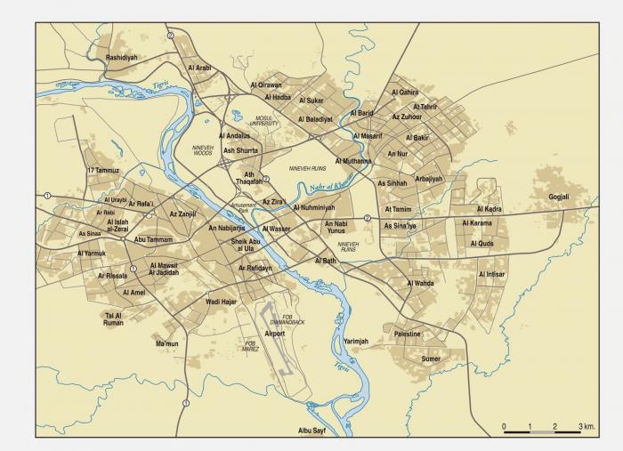
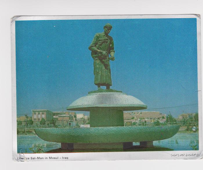
Mosul City
Mosul (Arabic: الموصل al-Mawṣil, Maṣlawī Arabic: al-Mōṣul, Turkish: Musul; Assyrian: ܢܝܢܘܐ or Ninaweh, Kurdish: Mosul/Ninawa) is Iraq's second-biggest city and the capital of the Nineveh Governorate, some 400 km (250 miles) northwest of Baghdad. The original city stands on the west bank of the Tigris River, opposite the ancient city of Nineveh on the east bank, but the metropolitan area has now grown to encompass substantial areas on both banks, with five bridges linking the two sides. It's a multiicultural city with it's Arab, Turkmen and Kurdish population.
In the early 21st century, the majority of its population was Arab, with Assyrian, Iraqi Turkmen and Kurdish minorities. The city's population grew rapidly around the turn of the millennium and by 2008 was estimated to be 1,800,000. Although half a million fled in 2014 it was still over a million that year. With the 2014 occupation by the terror organization ISIL, only Sunni Arabs remained in the city.
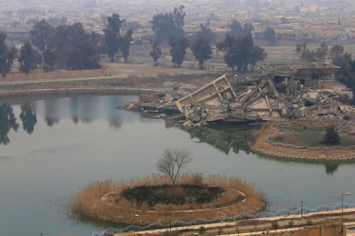
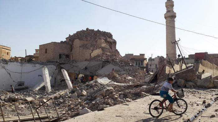
The Assyrian Christian population of the city was estimated to be around 60,000 in 2003, but decreased with the growing waves of Islamic Extremism. Eastern bank of the Tigris is badly demolished by Iraqi Army during the "liberation" from ISIL.
During the 20th century, Mosul city had been indicative of the mingling ethnic and religious cultures of Iraq. There used to be a Sunni Arab majority in urban areas, such as downtown Mosul west of the Tigris; across the Tigris and further north in the suburban areas, thousands of Assyrians,Turkmens, Kurds, Shabaks, Yazidis, Armenians and Mandeans made up the rest of Mosul's population. Shabaks were concentrated on the eastern outskirts of the city.
Wikipedia article: http://en.wikipedia.org/wiki/Mosul
Mosul (Arabic: الموصل al-Mawṣil, Maṣlawī Arabic: al-Mōṣul, Turkish: Musul; Assyrian: ܢܝܢܘܐ or Ninaweh, Kurdish: Mosul/Ninawa) is Iraq's second-biggest city and the capital of the Nineveh Governorate, some 400 km (250 miles) northwest of Baghdad. The original city stands on the west bank of the Tigris River, opposite the ancient city of Nineveh on the east bank, but the metropolitan area has now grown to encompass substantial areas on both banks, with five bridges linking the two sides. It's a multiicultural city with it's Arab, Turkmen and Kurdish population.
In the early 21st century, the majority of its population was Arab, with Assyrian, Iraqi Turkmen and Kurdish minorities. The...
 Reduce description
Mosul City on the map.
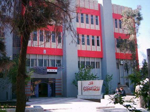
![Construction Company [destroyed]](http://photos.wikimapia.org/p/00/05/77/90/16_big.jpg)
![Green mosque [destroyed]](http://photos.wikimapia.org/p/00/05/77/89/48_big.jpg)
Recent city comments: